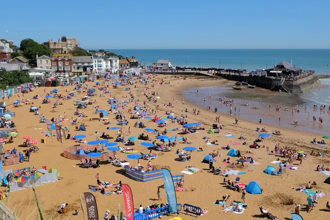
Exact date the UK set to sizzle in 29C 'Spanish heat bomb'
24 July 2024, 12:39

An August heatwave is on its way and parts of the UK could see temperatures rise to 29C.
Listen to this article
The UK is set for another heatwave, with parts of the country to expected to see highs of 29C next week.
While Spain, Greece and Portugal are all experiencing extreme temperatures at the moment, the UK is set to follow suit with sweltering weather predicted between the 1st and 3rd of August, according to WX Charts.
This comes after Brits enjoyed a 'heat dome' last week, where temperatures topped 31C in some areas due to an Iberian plume.
- Listen on Global Player, the official Heart App: The Sports Agents with Gabby Logan and Mark Chapman
We're set to see a repeat of this in the coming days as warm air from Spain and Portugal travels to the UK, with August finally bringing some consistent summer sunshine to our shores.

Exacta Weather's James Madden stated: "In terms of the highest temperatures during these heat surges during late July and August, we could easily see top temperatures in the mid to high 30s across the southern half of the country. With temperatures close to hitting 30C elsewhere still to come throughout this summer during the most extreme heat and high pressure rises across our shores (UK and Ireland).
"High pressure will return quite quickly and become the more predominant feature during the middle part of this week and during late July to continue this on cue and expected "pattern change" with some variations from warm/hot to possible extreme temperatures in terms of heat that could see the hottest spots reaching into the mid to high 30s during as early as next week, late July, and again in August."
- Read more: Is it too hot to walk your dog and can you give your pooch ice cubes to cool them down?
- Read more: Seven tips to keep cool at night without a fan during the heatwave

The BBC have echoed this sentiment, with their forecast suggesting we will see a warm start to August.
They predict: "Early next week, the Azores High will extend a ridge north-eastwards across the UK, delivering a mostly dry day or two to many areas with temperatures rising further. Some very warm conditions are possible on Monday and perhaps Tuesday, chiefly in the southern UK, with a decent amount of sunshine."

They continue: "However, as high pressure drifts farther east it will allow Atlantic frontal systems to come closer, and by Tuesday outbreaks of rain could affect the northern and western UK. Scotland could be the main focus of some rather heavy bursts of rain, potentially thundery, with some gusty winds.Another high pressure ridge developing on Thursday should give most areas a dry and warm day with some sunshine, but the far north-west could still see a few showers.
"The northern and western UK will most likely remain susceptible to showers or longer periods of rain during the rest of the week, with the highest chances of some more dry and sunny weather in southern and eastern regions. Temperatures will remain above average in many areas but closer to the seasonal average in the north, particularly Scotland."
- Read more: The two-second fan trick that could help you sleep during the heatwave
- Read more: What should I do if I see a dog locked in a hot car?
- Read more: Spanish holiday destination considering water restrictions for tourists


