On Air Now
Heart's Club Classics with Toby Anstis 7pm - 11pm
19 August 2020, 16:14

Storm Ellen is set to bring wet and windy conditions to the UK, but where will it hit?
This week, on Tuesday evening, the Met Office named Storm Ellen as it is set to sweep across Northern Ireland and the Republic of Ireland.
Storm Ellen is expected to bring wet and windy conditions to parts of the UK, bringing contrasting weather to the heatwave we saw earlier this month.
The Met Office have warned Storm Ellen will be heading across Ireland and parts of Wales and western England.

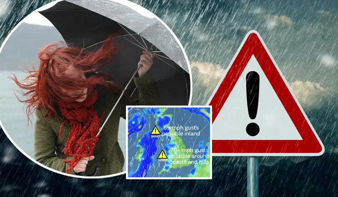
Northern Ireland should expect to see gusts of 65mph, while Wales and the west of England could see up to 70mph wind gusts, mainly around coasts and hills.
Met Office Chief Meteorologist, Steve Ramsdale explained that following the hot and thundery weather we have seen this week, there will be a "significant change" to "very unsettled conditions for August".
Bands of #rain will continue to spread north across the UK this evening, with rain reaching the south of Scotland by the start of the night
— Met Office (@metoffice) August 19, 2020
The rain approaching the southwest of England is the leading edge of #StormEllen, which will bring strong winds to the far west later pic.twitter.com/8eXPTptEev
He continued that we will see an "unseasonal" spell of strong winds for the rest of the week.
He added: "Uncertainty remains high in the intensity of these systems at this point, but we are confident in the change to a spell of much windier weather.
"Tropical air associated with a decayed tropical cyclone is being drawn towards the UK, and the marked contrast between this warm and moist air with normal North Atlantic airmasses can lead to a very vigorous system.”
If you're looking to track Storm Ellen, the Met Office currently have the expected path of the storm mapped out.
Keep an eye out on the Met Office twitter page for updates on the journey of Storm Ellen.
READ MORE: Thunderstorm tracker live: When and where is the rain and thunderstorms today?