On Air Now
Saturday Breakfast with JK & Kelly Brook 9am - 12pm
25 January 2024, 11:42


Is a snow storm forecast for the UK? Everything you need to know amid warnings of 450-mile snow bomb.
The UK is forecast to be covered in a snow storm this February with temperatures expected to drop as low as -8C in some areas.
Following Storm Isha and Storm Jocelyn, the country have been experiencing above-average temperatures - but the wintry conditions are not over yet.
Just as people start to pack away their scarfs, hats and coats, a snow storm is heading towards the UK, expected to hit during the first week of February 2024.
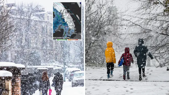
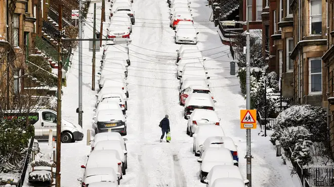
Scotland, Northern Ireland, Wales and England are reportedly going to be covered in a 450-mile snow bomb with snow depth potentially reaching 24cm in some areas.
The snow storm has been revealed on WX charts, which show the snow arriving on Monday 5th February and Tuesday 6th February, with Scotland and the Midlands being the most affected.
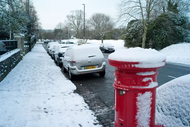
Along with the snowfall, we are expected to see the mercury to drop again to as low as -8C in some areas.
Across Northern and Western Scotland, 24cm of snow could settle on the ground while the rest of the country will see around 2cm of snow settling.
Amid the snow bomb reports, Exacta Weather forecaster James Madden has said that snow and cold conditions could be returning at the start of February.
"We expect some major snow and cold weather to start gaining significant ground to return for in and around Feb 2/3," he said.
Meanwhile, the Met Office's early February forecast reads: "Cloud and outbreaks of rain gradually move northwards across the UK during Monday, heaviest in some western and northern areas with some southern parts dry.
"Through the remainder of the period, changeable with spells of rain at times, but also some drier, brighter interludes. The heaviest and most frequent rain will tend to be across northwestern areas and accompanied by periods of strong winds.
They add that further south and east we will see settled periods with the best of the sunshine and drier weather.
At this time, temperatures are forecast to be milder than average, but that short and much colder spells will appear at times brining with it a risk of frost and fog.