On Air Now
Heart's Club Classics with Pandora Christie 7pm - 11pm
11 January 2024, 16:29
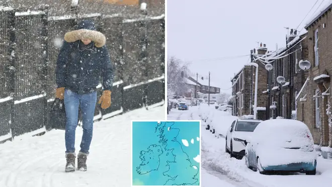


The Met Office have forecast frosty conditions next week.
The Met Office have warned an incoming Arctic blast could bring snow and 'wintry hazards' to parts of the UK next week.
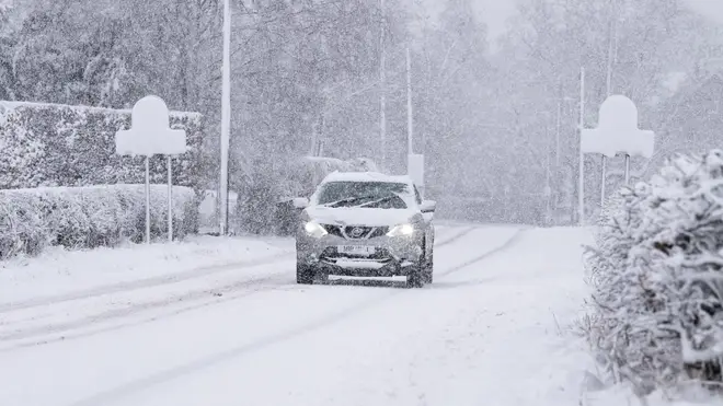
In a recent forecast, the national weather service revealed that the UK is currently experiencing high pressure which is bringing colder than average weather for this time of year. These chilly conditions are set to carry on into next week, with snow and rain expected.
They also predict the week will see an 'increasing chance of wintry hazards', with flood warnings in place for parts of England and Wales, as the frosty weather continues.
Met Office meteorologist Aidan McGivern stated: "A cold front from the north towards the weekend will mark another change in the airmass for the UK, moving from something with a bit of an Atlantic influence to air that comes more directly from the Arctic."

Met Office head of situational awareness, Will Lang added: "There will be a resurgence in the really cold weather through the weekend and that spreads across the whole of the UK during the early part of next week.
"Initially, this means there will be more in the way of showers around the coasts, turning increasingly to snow for many areas, especially further north."
Watch the Met Office forecast here:
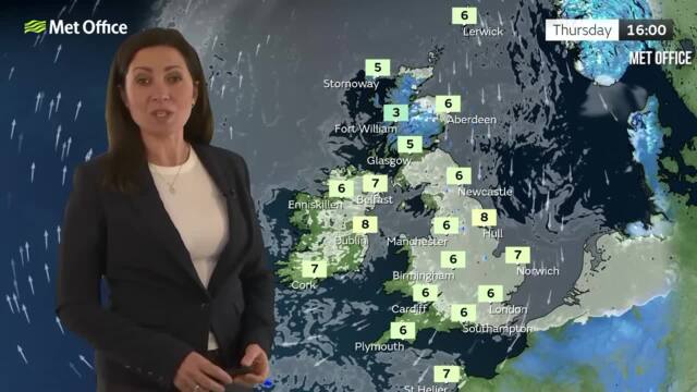
Temperatures to plunge lower in latest forecast from the Met Office
When forecasting the weather for next week, Mr McGivern added: "We start with a northerly airflow and snow showers, especially near the coasts in the north. But there will also be brighter skies for some.
"Then, from the middle of next week, low pressure tries to move in from the South West, and the impact of this is still a bit uncertain at this range.
"Different models are saying different things in terms of the track of this low, but you have the ingredients for snow with cold air in place and additional moisture supplied from the Atlantic, which will bring rain, but on the boundary with the cold air, you could see some snow."
Met Office Deputy Chief Forecaster Tony Wardle concurred: "There is the potential for some disruptive snow through the middle to latter part of next week as warmer Atlantic air attempts to push in from the southwest.
"As this occurs, some substantial snow could fall in some places, but the details of that are uncertain at the moment."

The Met Office long range forecast for Monday 15th January- Wednesday 24th January, states conditions will be:
"Often cloudy across clearing central and southern areas at first. Thereafter, turning colder from the North, with brisk northerly winds likely developing widely across of the UK, bringing a risk of snow showers, most frequent across the north.
"Temperatures remaining cold, and a marked wind chill especially in the north. There is risk of unsettled weather pushing in from the south through this period, which could lead to a band of snow and sleet where it meets the colder air across the country.
"Confidence is low with regards the timing of the arrival of any such disturbance, but there is an increasing risk of something potentially disruptive at some point in this period. Widespread frosts continue to be a feature by night, with a risk of ice in places."