
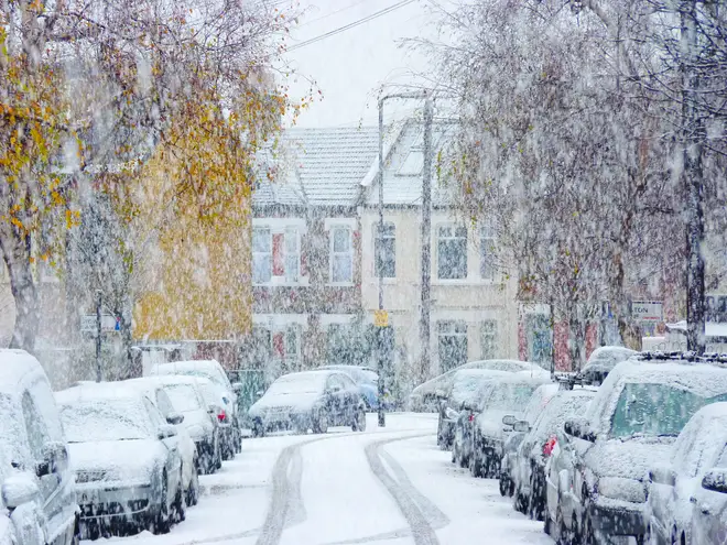
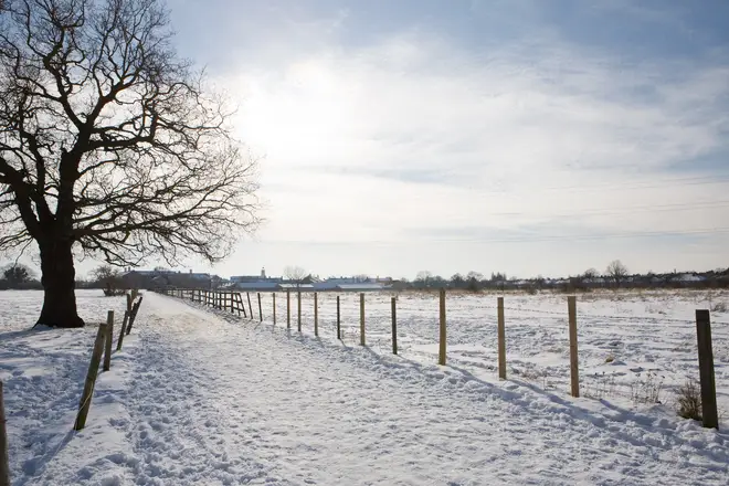
Brits set for up to 30cm of snow this weekend as temperatures plummet
5 February 2021, 07:58
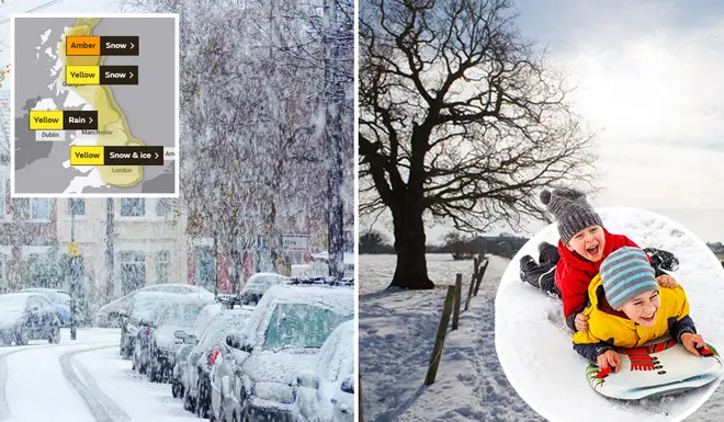


The first weekend of February is looking to be a wintery one, with snow and ice predicted for Brits.
If you missed out on the snow fall two weeks ago, you might be lucky enough to be treated to a second chance this weekend.
Many areas of the UK are set to turn white as temperatures drop.
Yellow and amber warnings are in place across Britain due to the predicted weather conditions, and are in place from now until Monday.
Meanwhile, the Met Office have warned people of "prolonged periods of snow", with some higher areas predicted to get up to 30cm.
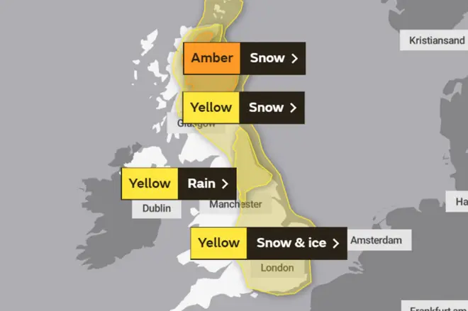
While Scotland is expected to have snow on Friday, the rest of the UK is set for rainy showers.
However, Saturday will see Scotland move to an amber weather warning with snow, while snow and ice is expected across the southern England.
On Sunday, the weather warning stays at yellow for the east of the UK, with more snow and ice predicted.
Temperatures will also be dropping, with a Met Office spokeswoman saying that we could see a drop of 10C in some areas.
Sky's weather producer Joanna Robinson explained: "The cold air currently across Scotland will bring further snow there over the next few days. The Met Office has issued an amber snow warning for areas north of the Central Belt, where up to half a metre of snow is possible on the hills by Saturday.
"That's on top of the snow seen in recent days, with depths reported to be around 40cm in Braemar and Crathie already. This is likely to be a significant and disruptive snow event for the Grampians, with blizzards and drifting snow.
"Over the weekend, the cold air takes over the rest of the UK, with a raw easterly wind developing.
"Snow showers will move in off the North Sea to affect eastern parts, but more disruptive snow is possible for East Anglia and the South East on Saturday night and Sunday.
"There's fairly high confidence that the cold conditions will continue early next week, with further snow showers in the east. It will feel bitterly cold in the wind."
READ NOW: Woman's hack to defrost a windscreen hailed a 'game changer'


