
UK weather: Storm Evert to batter Brits with 75mph winds and heavy rain
30 July 2021, 08:23 | Updated: 30 July 2021, 08:27

Storm Evert tracker: Where will the storm hit? Here's what we know about the weather...
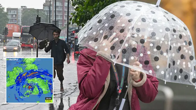
Summer has been put on hold as Britain is set to be blasted by Storm Evert.
After a very unsettled night, the Met Office is warning it 'will get worse before it gets better' this morning.
In fact, winds are expected to reach speeds of up to 75 mph in the south west with heavy rain also battering the south coast of England and Wales.
- UK weather: Met Office predicts mid-august heatwave as 'African plume' heads to Britain
- Best fans and air conditioner units 2021: From Dyson to Daikin
- Why using a fan in the heatwave could actually be making you hotter

The storm will move across the UK this morning, making some areas in the south wet and windy.
Steven Keates, a meteorologist from the Met Office, said: "The wind will get worse before it gets better.
"The highest gust of wind is on the Isles of Scilly, which is 45 knots or 52mph.
"There is the potential for 60mph in coastal areas of west Cornwall and the Isles of Scilly."
In the south west, heavy rain showers and thunder will move eastward but winds will gradually ease through the day.
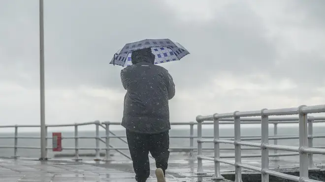
This will then make way for sunny spells, but things will stay windy and more showers are expected overnight.
Things are looking similar further north, however the winds and showers will ease into the evening.
The bad weather has also hit the south east and London, with outbreaks of heavy and persistent rain expected through the morning.
According to forecasters, this will make way for brighter spells into the afternoon with showers into the evening.
It's a similar story over the weekend, with cloudy skies, showers and windy conditions expected across the country.
This comes after the Met Office predicted another heatwave for next month.

The Met Office Explain Exactly What A UK Heatwave Is
While the first half of August is set to stay unsettled with sun and some showers, high pressure could hit later in the month.
Forecasters at the Met Office say: "Although confidence in the detail is low, there are tentative signals suggesting that high pressure may become more dominant during the middle of August, bringing more settled, drier and warmer conditions for many."
"There would still be a risk of showers or thunderstorms at times. Temperatures are most likely to be above average."
AccuWeather forecaster Alyssa Smithmyer has also said hot air from Africa could increase the mercury.
"During the first week of August, temperatures are expected to likely do the same and return to near normal, with a few slightly warmer days possible later in the week as the jet stream influence transports some warmer air from Africa," she told the Express.


