
UK weather: Exact time heatwave will come to an end ahead of heavy rain
19 July 2022, 06:45 | Updated: 19 July 2022, 06:55
Met Office admits they’ve never recorded such high temperatures in latest Met Office weather report


Here's when the heatwave will end this week with 40C temperatures again today.
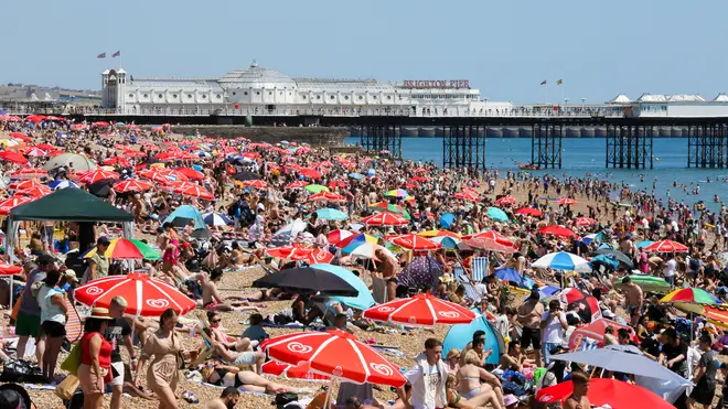
We’ve all been struggling in the heat this week, with schools closed, trains cancelled and airports grinding to a halt.
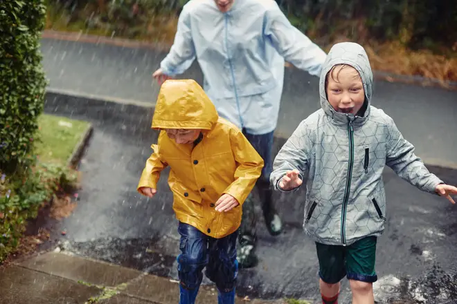
But it looks like the extreme weather is set to come to an end as heavy downpours are forecast to fall across much of the country.
So, when will the heatwave end? Here’s what we know…
- Heatwave uk: List of schools closing today
- Sleeping naked will actually make you hotter at night, expert claims
- Holiday hotspot in Italy bans bikinis with £425 fine
When will the UK heatwave end?
The Met Office has said temperatures will drop by 10 degrees on Wednesday, with rainfall predicted across the country.
As cooler air pushes across the country from the west, things will cool down dramatically on Tuesday night.
Central London will see scattered showers from 10am to 7pm on Wednesday, with these showers travelling up the country throughout the day.
The Met Office forecast states: “It is likely much of the UK will see temperatures gradually decrease to average or slightly above average through the week, though occasional thundery showers are possible in the south and southwest."
However, things are still set to stay in the high 20s over the week, not truly cooling down until Thursday and Friday, where some parts of the country could see thunderstorms.
Forecasters at the Met Office added: "Although temperatures will fall on Wednesday there will still be some locations in the East of England that could still meet heatwave criteria on Wednesday with, 28-30C still possible.
"With the less hot air moving in from the West there is no specific time the heatwave will end as it will depend on where you are in the UK.
"Showers or thunderstorms in places Friday, before becoming dry and warm away from the northwest. Spells of rain developing here."
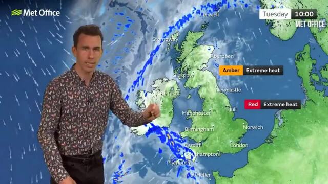
There are currently two weather warnings in place across the country.
While an amber warning for extreme heat is currently in place for most of England and parts of Wales until midnight on Tuesday, a rare red warning is in place for cities including London, Manchester, Birmingham and Nottingham.

Temperatures soar in Manchester
The red warning means 'dangerous weather is expected' and is likely to bring 'a risk to life'.
As we head into August, the forecast will stay warm, with the Met Office stating: "After a spell of more changeable conditions for many areas, high pressure will likely bring more settled weather again to the south and southwest into August. This may extend more widely across the UK, bringing generally fine weather for most.
“Temperatures will likely be above average for most, especially in the south, with the potential for it to be hot across England and Wales. Temperatures perhaps returning close to normal again into mid-August, except in the south where it may remain warm or very warm."


