
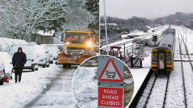
UK weather: Snow to cover Britain this weekend as freezing temperatures plunge to -10C
22 January 2021, 08:02


The Met Office has warned of freezing conditions over the next few days.
After storm Christoph battered much of the country this week, there is set to be even more wintery weather in the coming days.
Temperatures could even drop as low as -10c in some parts of the UK, with a yellow weather warning for ice along the western coasts from the Scottish Highlands, down to the north west of England and into Wales.
Another yellow warning for snow and ice is in place across northern parts of Scotland until Friday lunchtime.
Met Office Meteorologist Craig Snell told The Mirror: "We're losing the rain but gaining some colder and possibly some wintry weather too.
"It will be feeling cold, I think that certainly that will be something that we will all be noticing it will be colder than it was to start the week.
"I think the main thing for most of us will be that we will see some frosty nights and with the ground wet from the rain we've had we may well see some icy patches."
Mr Snell added that temperatures are set to drop to -10C overnight in parts of Scotland, and as low as -7C in parts of England.
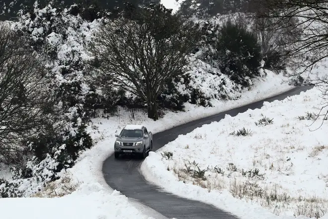
Meanwhuile, according to WXcharts, up to 20 inches (52cm) of snow could fall in western areas of the UK this weekend.
This could reach as far down as Plymouth and Southampton, right up to the Scottish Highlands.

Boris Johnson warns it’s ‘too early to tell’ if schools can reopen after February half-term
The heaviest snow is expected overnight on Saturday across central areas of Scotland with between nine inches (22cm) and 20 inches (52cm).
By Sunday morning, the snow will move further south and hit western areas, the North of England and the Midlands.
Netweather TV forecaster Jo Farrow told the Express: “The winds veer to a westerly and with the UK then in colder air, eastern Britain turns wintry.
“Snow showers for northern Scotland, also southeast Scotland and northeast England but possible further down the east coast of England.
“As long as the low has cleared away, it will leave much of England drier and sunny but cold. Wales, Northern Ireland and western England will be cold and bright but with plenty of showers, icy rain even flurries of snow."
Snow could even reach London by Sunday, with light snow showers and light wind from forecast 8am.
Temperatures will average around 0°C in the capital, with the wintery showers expected to continue until midday.


