
UK weather: Exact date Britain to be hit by snow and strong winds this month
3 March 2022, 14:36

The UK is set for more wintry weather over the next two weeks according to forecasters.
Listen to this article
Loading audio...
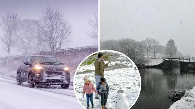
Next week, wintry conditions are set to return to the UK, with some snow even expected.
According to new maps from WXCharts, from next Thursday (March 10) snow is expected to fall in the north of the country.
While the heaviest snowfall will come in Scotland - with up to 25 centimetres likely to land - there is also set to be light snowfall in the Welsh Valleys.
Up to four inches an hour of snow could also fall in Aberdeen, Edinburgh, Newcastle, and the Lake District.
- Football club give up search for little boy after fans raise £10,000 for him to attend matches
- I'm A Celebrity bosses confirm show WILL return to Australia this year
- Never-before-seen portrait of Princess Diana revealed in new exhibition
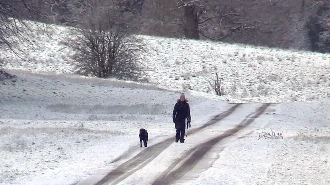
While Lancashire, Greater Manchester, Yorkshire and the north east of England could also see some flurries.
Further south, there will be heavy rain and strong winds instead with the potential of overnight frosts developing in some areas.
The Met Office has predicted snow starting the week commencing March 7.
Their forecast states: “Monday will be settled for most due to high pressure, with coastal areas experiencing cloud and a scattering of showers.
“Winds will strengthen during the day with cool temperatures through the day, overnight frosts developing in prone locations.
“For the rest of the week it will likely be initially, largely dry with some wintry showers possible, as we move through the period there will be an increasing likelihood of spells of rain, potentially preceded by snow, arriving from the west.
“Winds will likely strengthen through midweek with an increasing likelihood of coastal gales. Rather cool or even cold across much of the UK, but temperatures may begin to recover to nearer normal from the west later in the period.”
Brian Gaze, director and forecaster for The Weather Outlook has also said longer periods of snow can be expected.
Many of us will see some rain on Thursday and/or Friday
— Met Office (@metoffice) March 3, 2022
Take a look at the rain bars to see which areas will be wettest and driest on each day ⬇️ pic.twitter.com/9BIpxiuATw
He told The Sun: “Towards the end of this week colder air from the east is expected to start moving across the UK as high pressure builds to the northeast.
“At the moment there is uncertainty about how long it will hang around for and how much temperatures will fall
“The coldest conditions could well be in the south and east of the UK and that is where wintry showers would be most likely.
“However, as milder air tries to return from the southwest next week there is a chance of longer periods of snow for a time close to the boundary between the cold continental and milder Atlantic air masses."


