
UK weather: Britain set for heavy snow and plunging temperatures ahead of new ‘Beast from the East’
11 January 2021, 10:26 | Updated: 12 January 2021, 08:53


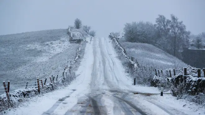
Rain and snow is once again sweeping across Britain this week.
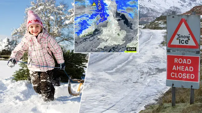
It’s time to reach for your extra snuggly jumper, as more severe weather warnings have been issued for the UK.
The Met Office has warned that areas of the country will be covered in snow and ice today.
Yellow warnings have been issued for snow, ice and rain across Scotland and much of northern England from 3pm today until 11am on Tuesday.
The ice warning reads: "Rain and snow will clear southwards later Monday and overnight into Tuesday, with a rapid freeze following.
"Some hilly areas will see a further cover of 1-3cm snow beforehand.
"Ice will become widespread over northern Scotland from around dusk, much of the rest of Scotland by late evening or the early hours, and across northern England later in the night."
Read More: I'm A Celebrity Get Me Out Of Here 'book Gwrych Castle for 2021'
This comes as it was reported even more heavy snow could cause problems for people in the UK in the coming weeks.
A sudden stratospheric warming (SSW) is currently developing high above the Arctic, which is similar to the event which triggered the big freeze - or Beast from the East - in 2018.
This could result in the whole country being covered by heavy snow and plunging temperatures by the end of January and into the beginning of February.

Martine McCutcheon shares adorable clip of son Rafferty as she is unmasked
The 'Beast from the East' three years saw temperatures plummet to -15C and up to 20 inches of snow cover some parts.
Met Office forecaster, Craig Snell, said: “The stratosphere above the North Pole has warmed, it started its process on the 4th of January and has been rapidly warming over the last few days.”
Simon Lee, an atmospheric science and weather forecasting researcher at the University of Reading, also told the Mirror: "A weakening of the jet stream often occurs after an SSW, meaning the UK is now more prone to outbreaks of colder weather from the north and east than it was before.
"A weakened polar vortex can last for up to two months, so there is an increased likelihood of colder, drier weather occurring in Europe sometime in the next 4-6 weeks due to weaker Atlantic westerly winds.
"This also means we are less likely to see the kind of windstorms and heavy rainfall associated with a strong jet stream that we experienced last winter.”
Now Read: Emotional moment dad breaks down after son pays off his mortgage so he can retire


